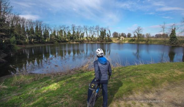
• Active & Green

Ferrata del Torrione Porro

It is a moderate difficulty ferrata that develops in Valmalenco.

where
Where
Chiareggio

The Ferrata to Torrione Porro is a moderate difficulty ferrata that develops in Valmalenco. The via ferrata is abundantly equipped and does not present any considerable technical difficulties even in the second most exposed part of the route. From the peak you can enjoy a beautiful view of the Ventina glacier and the Disgrazia group.
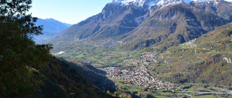
Starting point of the itinerary is Chiareggio in the municipality of Chiesa in Valmalenco. To reach Chiareggio from Sondrio, take the Valmalenco provincial road. Once in Chiareggio, park your car and walk to the bridge over stream Mallero from where the mule track begins and takes you to Gerli-Porro refuge in about 1 hour. After passing the refuge, continue along the path to Pirola lake until you reach a signpost indicating many routes, including the ferrata. Follow the path on the left to attack the via ferrata and go up some bends to a fork in which the ascent of the via ferrata and the normal one are separate. You will easily reach the red sign where the ferrata begins (30 ′ from the refuge - 1h 30 ′ from the parking lot).
The equipment starts near an ascending ramp to the right. This ramp runs without problems up to the first vertical equipment with lots of brackets. The ferrata starts with some short rocky jumps and diagonal sections until it reaches another diagonal ramp where the cable is a handrail.
Now we reach the second part of the ferrata, much more vertical and exposed, although technically not difficult thanks to the abundance of brackets and handles. The ferrata has 3 long walls with these characteristics.
One of these walls has an exposed stretch where the more physical effort is required.
At the end of the ferrata we will be able to evaluate whether to continue to the left and climb to the top of Torrione Porro (50 ′ from the attack - 2h 30 ' in total) or to the right crossing the path of the normal route towards the valley.
From the altar on the summit we will continue along the normal route that takes back to the fork of the outward journey. Then downhill towards the refuge and to the car parking (1h 30 ' from the summit - 4h in total).
The ferrata is recent (2016) and presents equipment in excellent condition. The equipment is abundant and in some cases even too much. This greatly reduces the technical difficulties of the climbing which is also suitable for people with moderate experience.
From the peak you can enjoy a beautiful view of Disgrazia Group and Ventina Glacier. As indicated by a sign at the end of the climb, the descent is prohibited.

Ferrata features:
Maximum altitude: 2435 m

Approach: 1:30 h
Difference in altitude Itinerary: 823 m
Ferrata: 0:50 h
Ferrata height difference: 195 m
Itinerary: 4:00 h

Source: www.ferrate365.it/vie-ferrate/ferrata-torrione-porro/


Take me here: Ferrata del Torrione Porro

On the same topic

The Soapstone trail

A short loop trail that allows hikers to visit the ancient places where the renown soapstone of Pirlo used to be quarried and worked.
  • Active & Green

The Patriarch's Greenway Path

An easy walk to discover Varenna and its most charming corners, with unique views on the central lake.
  • Active & Green

Po, a river to experience.

The italian longest river offers you unforgettable moments.
Gita fuori porta a Cremona lungo il Po
  • Active & Green

Discovering Lombardy with Va' Sentiero along the Italy Trail

Admiring the view from Pizzo Scalino, Valtellina, Lombardy
  • Active & Green

Lago d'Iseo - Best trails

Discover Lake Iseo's best trails with the new trekking guide!
  • Active & Green

Livignese Park

Park of considerable environmental interest, for the naturalness of the typically alpine landscape and for the richness of the fauna patrimony.
Livignese park
  • Active & Green

The Wayfarer's Path in Varenna

From Varenna walk along the The Wayfarer's Path and discover this ancient route connecting Lake Como and Valtellina
  • Active & Green

The High Route of Valmalenco – 5th stage

Rif. Lago Palu - Bochel del Torno (2208 m) - A. campascio (1844 m) - A. Musella (2021 m) - Rif. Carate (2636 m) - Rif. Marinelli (2813 m)
Vallone dello Scerscen
  • Active & Green

Gardens Pavia

Not just the city: a walk through botanic gardens and oasis for a green break
Gardens Pavia, discovering Lombardy
  • Active & Green

Valsassina and the Grigne

From one-day trips that anyone can enjoy, to climbing on the vertical walls of the Grigne, through to splendid hikes leading up to the mountain refuges
Valsassina and the Grigne
  • Active & Green

Spring in Valcamonica

4 ideas to enjoy the most sparkling season of the year in Val Camonica.
Signs of Spring at a Unesco Site
  • Active & Green

Bergamo Valle di Scalve, nature, peace and quiet

Bergamo Valle di Scalve, tra natura e tranquillità
  • Active & Green

Aereoclub in Sondrio

Hover in the sky like butterflies, letting yourself be carried away by the high currents like seagulls in search of freedom
  • Active & Green

Ten Snowshoeing Treks in Lombardy

Choose a route through the woods or try out a panoramic trail on your snowshoeing trek!
Ten Snowshoeing Treks in Lombardy
  • Active & Green

Cremona: an amazing town!

Cruises on the river, an extraordinary way to discover Cremona
La Motonave Mattei
  • Active & Green

Gema promenade - source of the Frascesca

Easy route and especially suitable for families with children
Source Frascesca
  • Active & Green

Where to Go Paragliding in Lombardy

A race and a jump in the void. Adrenaline and wonder. Discover where to paraglide in Lombardy
Parapendio in Lombardia
  • Active & Green

From the metropolis to the province: Milan's top 10 monumental trees

In an area as rich in history as the Metropolitan City of Milan, there is no shortage of valuable green monuments.
  • Active & Green

The trails of the Oltrepo' Pavese

On foot, by bike, or on horseback to discover the Oltrepò Pavese
Comunità Montana Oltrepò Pavese
  • Active & Green

The High Route of Valmalenco – 4th stage

Chiareggio (1612 m) - Rif. Longoni (2450 m) - A. Sasso nero (2304 m) - Rif. Lago Palù (1947 m)
Vista sul Lago Palù
  • Active & Green