In Valgerola at Rifugio Salmurano
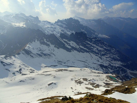
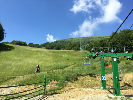
Asimple itinerary in the heart of Valgerola, up to the Salmurano Refuge, which allows the discovery of a wonderful territory characterized by a very rich historical and cultural heritage. From the lifts of Pescegallo, a hamlet of Gerola Alta, the dirt road that will take us to the refuge is clearly evident. At wide traverses it climbs between the chairlift and the pastures and passes uphill the fork to Lake Pescegallo. Along the way, it is possible to admire the Denti della Vecchia Towers, a succession of five towers that separate the Pianone di Salmurano from the Val Tronella, from where some 20 routes of varying difficulty wind their way. Finally, after a last flat traverse, you soon reach the Refuge. In the surrounding area it is possible to admire traditional alpine pastures, where the original Bitto cheese has been produced for centuries; it is also possible to take guided tours to discover the secrets of production by asking Carlo the mountain hut keeper for information. This route is the only one recommended in the winter season with snow or ice equipment.
")