I found 374 results for val di scalve

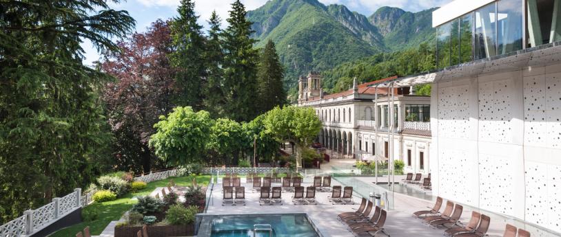
Terme di San Pellegrino

Panoramic pools, waterfalls and bio saunas, in an elegant Belle Époque atmosphere
QC terme di San Pellegrino

Caronella Valley

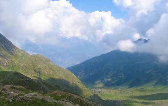
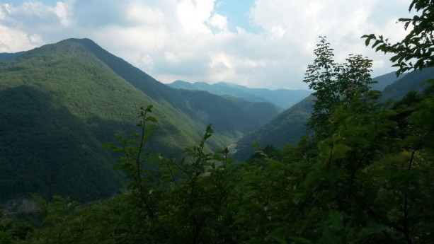
Val Caronella, within the Orobie Valtellinesi Park, offers hiking itineraries suitable for everyone with the possibility of observing stupendous views of the middle Valtellina.   Once we reach the ancient village of Carona (descending from Aprica towards Sondrio and deviating to Val Belviso and then to Carona), where we can leave the car and admire the ancient little church dedicated to S. Omobono dating back to the 1400s, a dirt road begins that takes us without much effort first to the huts of Pra' di Gianni (1350 m) and after a short while to the equipped area of Pra' della Valle (1370 m). From this point it is easy to observe and reach the characteristic waterfalls and then continue on a steeper path to reach the Caronella hut (1860 m). For the more trained, the trail climbs to the Caronella pass at an altitude of 2600 m (4/5 hour itinerary) and then descends through the upper Serio valley to the basins of Lake Barbellino where the Barbellino refuge and the Antonio Curò refuge are located. Val Caronella and Val Bondone are Site of Community Importance, Natura 2000 Network.
Caronella Valley

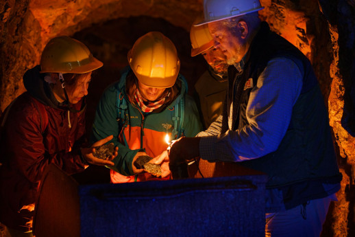
Foghera Mine

Comune di Oneta (BG)

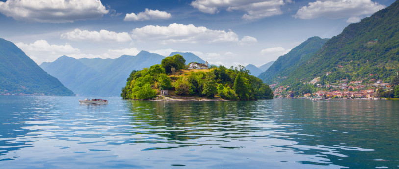
Lakes in Lombardy: 5 unmissable experiences

5 consigli per una giornata indimenticabile: da Gardone Riviera all’Isola Comacina, alle sponde perfette per chi ama la bici
Laghi in Lombardia autunno

To Cevedale with a stop at Rifugio Pizzini

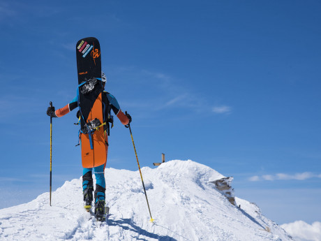
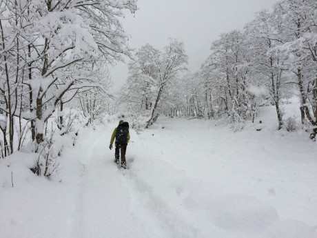
Ahike that can be done on foot or with mountaineering skis if conditions permit, at these altitudes snow can remain until late spring and even in summer, it is good to inquire about conditions before leaving is to have all the necessary equipment. An excursion also suitable for those who want to get closer to the higher altitudes, a route up to the summit of the Valtellina mountain in the heart of the highest war theater of the Great War. We are in Val Cedèc, a side valley of Valle dei Forni, in upper Valtellina, a silent, snow-shrouded environment that hides the many relics of the First World War. Remains of trenches and barracks, military villages and barracks remind us that here, one hundred years ago, a significant page of the White War was written, the one at the absolute highest altitudes of the entire war front. The Cevedale peak, in the southern Rhaetian Alps, is a popular ski mountaineering destination. Uniting three valleys-Valfurva, Val di Pejo and Val Martello-it can also be reached from Val di Solda. Our starting point is the parking lot of Rifugio dei Forni. It can be reached from Santa Caterina Valfurva (Sondrio) by car along the toll road (toll column at the beginning of the route). The route to Cevedale climbs to the left along the Val Cedèc dirt road. Three hairpin bends are followed and then the route becomes almost flat, leading gradually to Rifugio Pizzini. From here you continue straight in a northeast direction until almost to the start of the Casati Refuge cable car, where you veer sharply to the right, heading east. The slopes begin to steepen and you pass under the rocky ridge that climbs to Cevedale. You face, keeping to the left, the Cedèc vedretta on very wide and regular slopes, until you reach a detour to the left where the glacier is spectacularly seracified and with a marked increase in slope. You climb the steepest part to the east and exit to the right in the direction of the pass that connects with Val di Pejo. Thus you reach diagonally, overcoming the last steep slope, the antecedent on the northeast ridge and traverse the terminal part on the level, arriving at the summit cross. Just before the latter, on the right, are the ruins of an old hut dating from the Great War. The descent route follows that of the ascent, one of the most beautiful and easiest of the Lombard glaciers. Beware, however, of possible crevasses, the greatest danger of this hike.
To Cevedale with a stop at Rifugio Pizzini

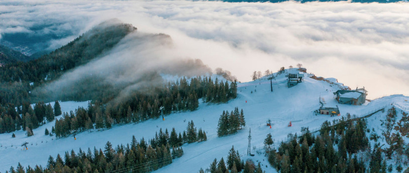
Borno

Whether you like hiking in the mountains or skiing or relaxing under the sun, Borno is waiting for you!
Borno - ph: bornoturismo.it

From San Martino to the Rifugio Luna Nascente

The route is simple, suitable for everyone and runs through the beautiful Val di Mello Nature Reserve in the province of Sondrio. It passes at the foot of climbing walls with epic names such as Abode of the Gods, Precipice of the Asteroids, Temple of Eden, and Metamorphosis Rock, a destination for many climbers in the summer season. From the village square of San Martino, in Val Masino, we head toward the Mello Torrent and ascend the valley floor on the trail that runs along the hydrographic left side (right side going up) of the torrent. During the ascent you cross a forest initially of broadleaf trees and then of larch trees to then plunge into the pastures of Cà di Scuma. Immersed in the Val di Mello, you pass the characteristic Cascina Piana locality and thanks to a small bridge you reach the Rifugio Luna Nascente, where you can have lunch and dinner of typical Valtellina products and warm up in front of the fireplace. It is also possible to stay overnight in warm, comfortable rooms and hike other nature trails the next day. In the winter season, taking advantage of the enchanting light of the full moon, evening snowshoeing is organized; you can thus admire this wonderful natural landscape with different lights and colors than usual, which contribute to making this experience different and unforgettable every time. - Ph: Margherita Pelizzari
From San Martino to Rif. Luna Nascente

From Romagnese to S. Margherita di Staffora

The route connecting Romagnese to Santa Margherita di Staffora features two rather long climbs, with a total elevation gain of about 1000 meters. Romagnese is located in the Upper Val Tidone, in the mountainous area of Oltrepò Pavese, easily accessible by following the old SS412 road. It is not far from the Passo Penice. Romagnese lies at an altitude of 650 meters, a prestigious summer and winter resort due to its healthy air. According to tradition, rooted in legend, the ancient village of Romagnese (Castrum Romaniense) is said to have originated from a camp of Roman legionaries who fled after their defeat in the Battle of the Trebbia River at the hands of Hannibal's troops during the Second Punic War (218 BC). Leaving Romagnese, the route climbs up to the scenic Strada di Costa d’Alpe, from which it descends to Piano Margarino and Menconico. A second, less demanding climb leads to Costa Roncassi, and the final 3 km of descent take you to Santa Margherita di Staffora. The itinerary passes through the Monte Alpe Nature Reserve and the village of Menconico. Monte Alpe is interesting both for its chestnut groves and grassy areas, as well as for the presence of artificial conifer plantations (black pine, Scots pine, and larch), which were almost entirely destroyed by fire and later subjected to restoration efforts to promote spontaneous vegetation. There are also petrifying springs that form travertine, particularly valuable for the protection of European habitats. The history of Menconico is closely tied to that of Monte Penice, located near the boundary of the municipality. The toponym Penice, formerly known as "Mons Conicus," is thought to have given the village its name, which means "the place of large rocks." It is said that a pagan temple once stood on the summit of Monte Penice. The land was gifted to Saint Columbanus by Aldovald, son of King Agilulf. Tradition holds that Queen Theodolinda passed through here in 613 on her way to Bobbio to visit Saint Columbanus. The route ends in the municipality of Santa Margherita di Staffora, at 546 meters above sea level, in the mountainous area of Oltrepò Pavese, in the upper Staffora valley. Above the fortress of Santa Margherita, the church is clearly visible, offering a panoramic view of much of the valley. On the side, partially hidden from the provincial road, the remains of the manor/castle, once owned by the Malaspina marquises, are still visible.

Around the world in Lombardy

Explore Lombardy’s regions like never before, discovering scenery with a remarkably exotic, international feel.

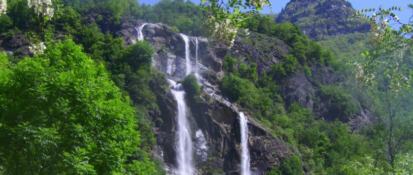
Acquafraggia Waterfalls

The source of the Acquafraggia torrent is Pizzo di Lago at an altitude of 3,050 m asl
Cascate Acquafraggia

Terme di Trescore

A silent valley and its healthy sulphur water with body healing and regenerative properties
Terme di Trescore

Terme di Boario

New-found fitness and a return to childhood fun in the green heart of the Valle Camonica
Terme di Boario in Valle Camonica