… T he ARS Val di Scalve Infopoint is located in the heart of Vilminore di … the natural, cultural and historical beauties of the…
Summer is more beautiful in the Bergamasque Valleys
… for you and the whole family in the beautiful nature of the valleys of the Province of Bergamo. Val Brembana , Val Seriana , Val…
Winter sports near Bergamo
… skiing, snowboard, toboggan, bob, skating, snowshoes, Nordic walking, climbing… The most well-known place in Val Brembana is surely Foppolo , that can boast a…
Angolo Terme
… I n the heart of Valle Camonica, on the right bank of the Dezzo torrent, … Angolo meaning ‘Corner’ because, in this location, the Val di …
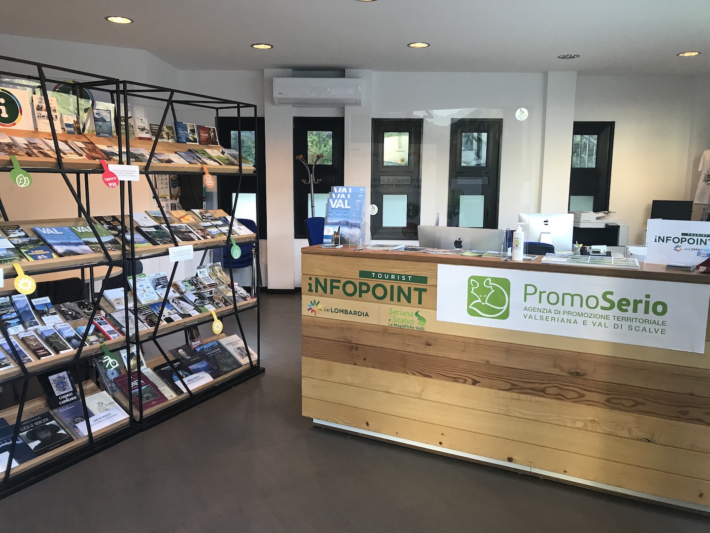
ValSeriana and Val di Scalve Infopoint
… T he ValSeriana and Val di Scalve Infopoint is located in Ponte Nossa, it is the …
Val Seriana e Val di Scalve
… the Bergamo Pre-alps, together with the Seriana and Scalve valleys, safeguard a treasure of unspoilt nature. … local art and history will find fascinating traces…
Ice Falls in Via Mala
… T he Via Mala is the old road between Val di Scalve in the province of Bergamo, and Val Seriana, in the …
Bergamo: włoskie arcydzieło
… Nagrody Nobla, Bergamo Film Meeting lub Bergamo Jazz Festival ożywiają wiosny w tym mieście. Każda pora roku ma tu … miejscem na romantyczne spacery. Natomiast Jezioro Endi…
What to see in Lombardy mountains
… V al Brembana, in the centre of upper Lombardy, is a small valley that is best explored by walking around its little … Places particularly worth a visit include Borgo di…
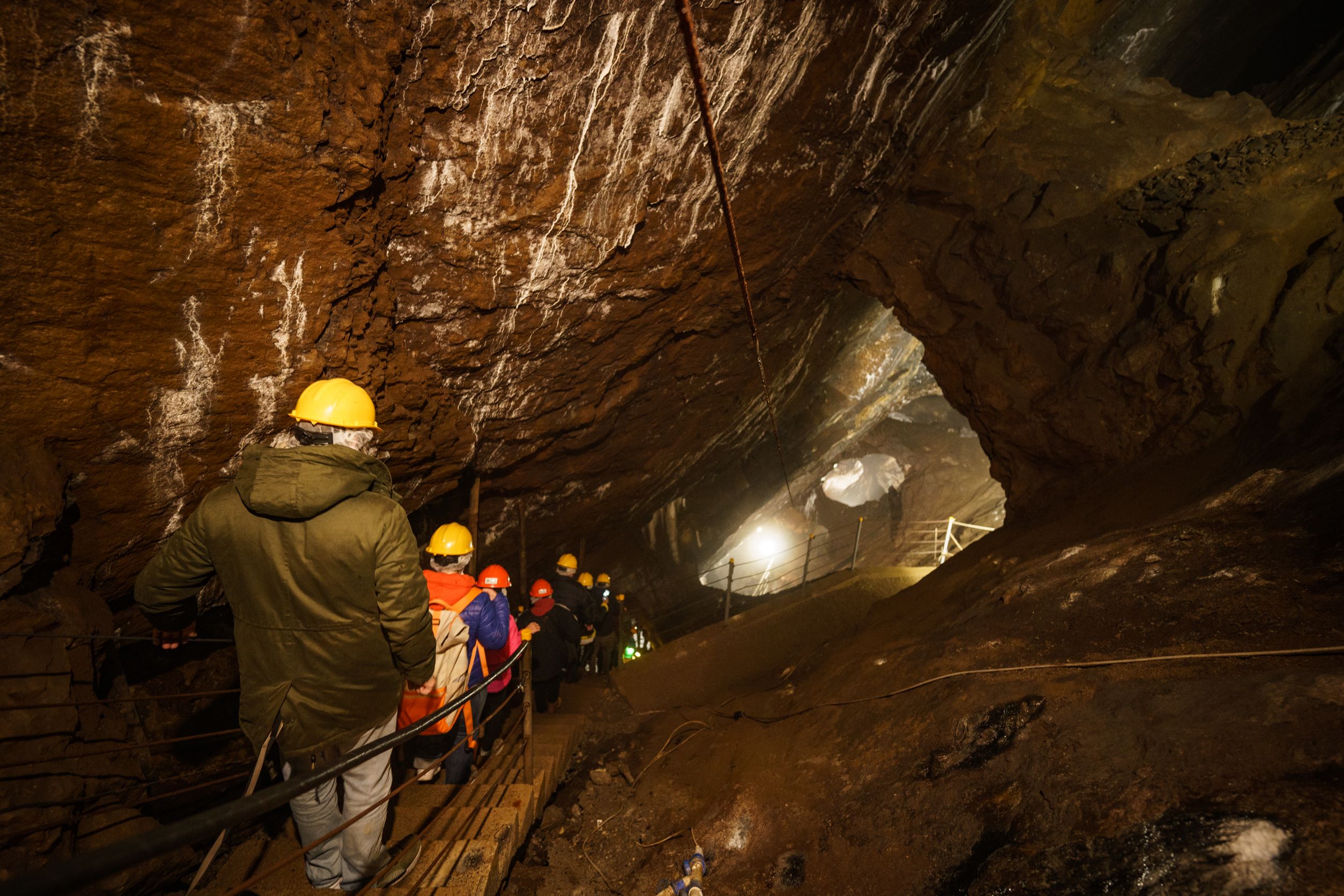
Gaffione Mine
… T he Gaffione di Schilpario mine is a complex of tunnels that can be … to rediscover an important piece of the history of the Val di…
Orobie: Mountains for all seasons
… go from the land to the sky, from grass to rocks: the lush valleys of the Brembo , Serio and Dezzo rivers alternates … 3.000 meters high. The park hosts a rich variety of bio…
What to Do in Lombardy Mountains
… trails, some of the best alpine ski routes and dedicated areas for snowboarding. The most famous ski resorts … (where you can also play ice hockey), Carona and…
")