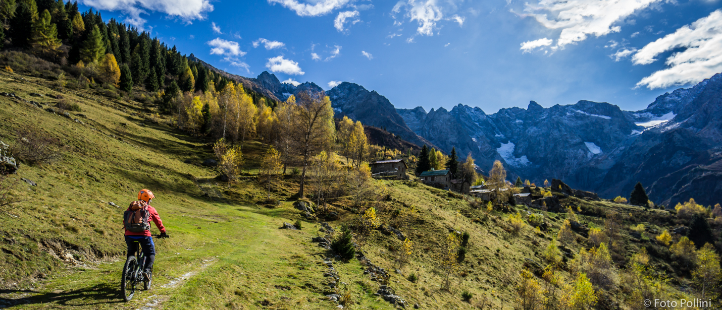
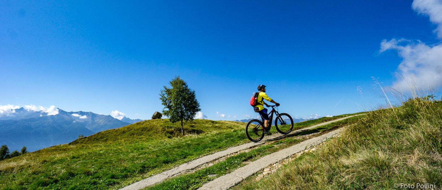
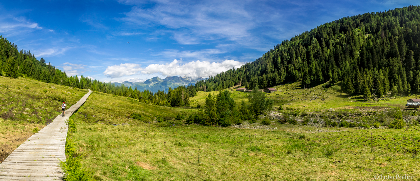
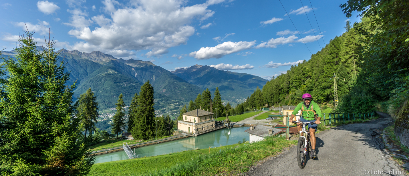
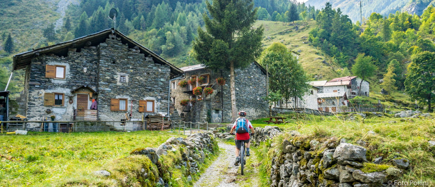
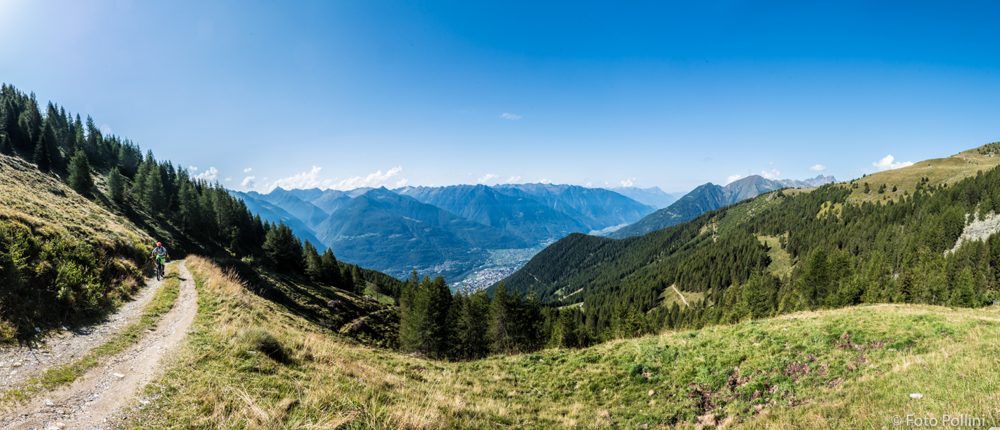
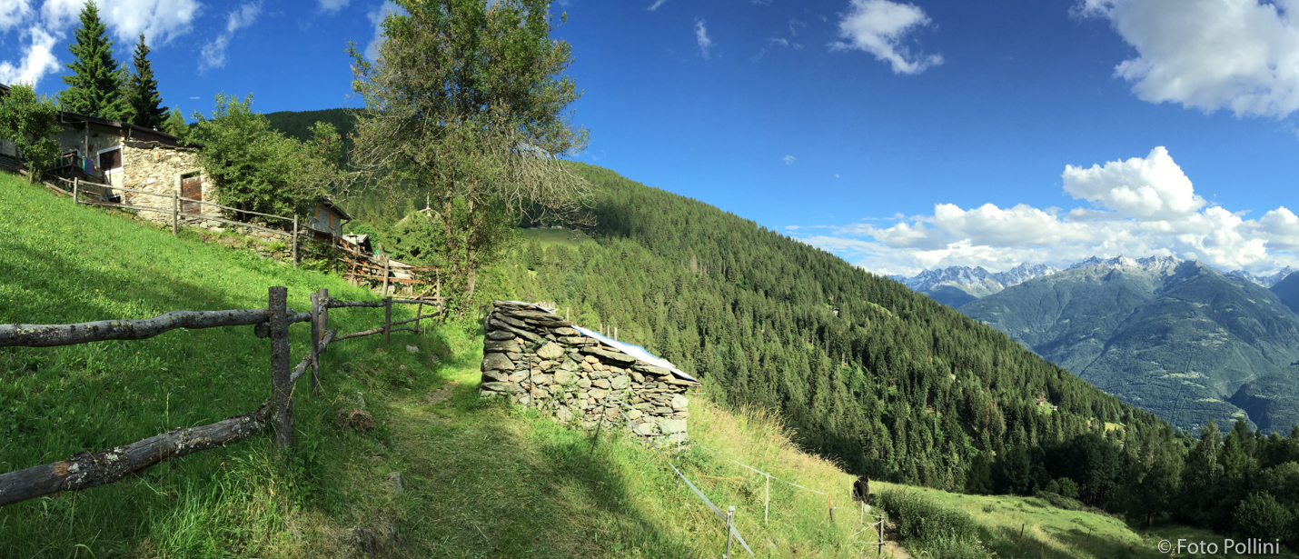
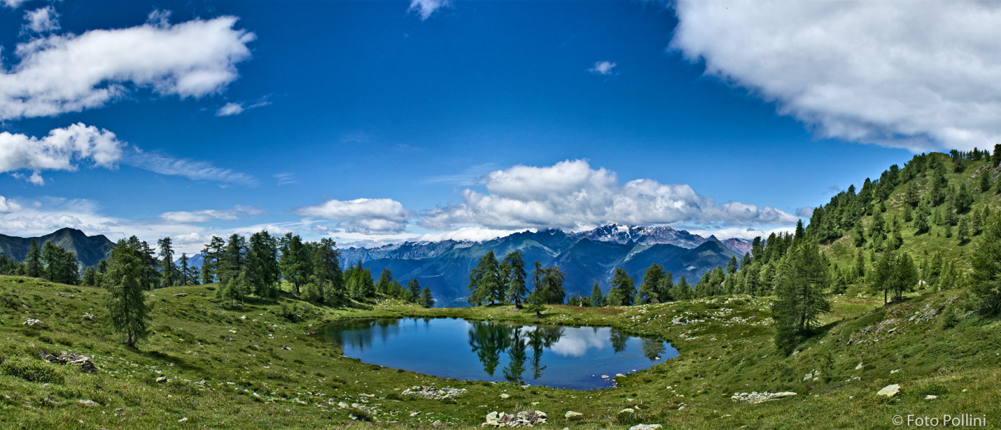
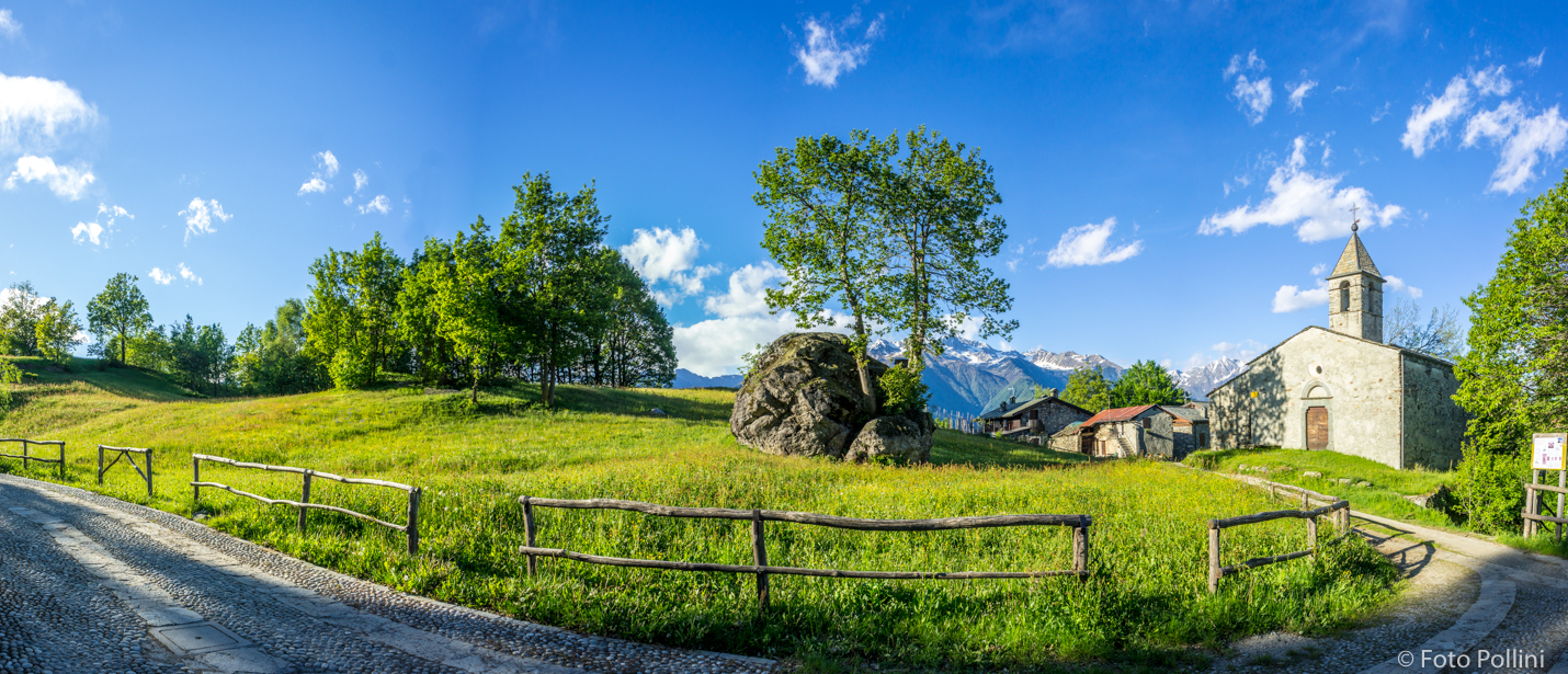
This route winds through Val d’Aringa, one of the most beautiful valleys in the Orobic mountain chain. It starts at the railway station in Ponte and it is tarmac from here to Fontaniva-Arigna with a…
MTB-Boirolo (Tresivio), Bocchetta Mara
Riders must consider the average and very high maximum gradient and very long stretches requiring medium/high pedal assist. We suggest the car park at 1500 m asl as the starting point to avoid…
MTB-Piateda, Armisolo
Another circular route on the Orobic slope from Piateda to Ponte, more difficult than the previous one due to its length and big differences in altitude. The tarmacked road from Piateda to Briotti…
MTB-Piateda, tracciolino Gaggio
T his circular route on the Orobic slope follows part of the disused “decauville” between Briotti (Ponte) and Gaggio (Piateda). The crossing stays constantly just above the 1000-metre mark, through…
MTB-Piateda, Ambria
The Ambria (Piateda) Facebook page reads: “Ambria is a true jewel of a hamlet nestling in the shade of high mountains, with streams and rivers, waterfalls and majestic forests. A little town with an…
MTB-Montagna, Alpe Mara
Overall difference in altitude, length, type of terrain, average and maximum gradient all combine to make this route difficult and complicated. If you are not very fit, you will be forced to often…
MTB-Montagna, Carnale, Davaglione
This is a complete scenic route with a long hard climb and downhill stretch that follows the Alpe Mara road. It has steep gradients that increase (over 10%) from Montagna to San Giovanni, but…
MTB-Alpe Campelli di Albosaggia, Lago Casera
This circular route goes past the maggenghi, the typical wooden mountain houses high up in Albosaggia. Campelli car park is the starting point, the tarmacked road immediately steep and then becoming…
MTB-Albosaggia, San Giacomo
Passing through little hamlets in lower Albosaggia, this route has fairly steep tarmacked climbs, some exceeding 15%, and stony, rough downhill stretches. From the car park near the “white bridge”…
The High Route of Valmalenco – 8th stage
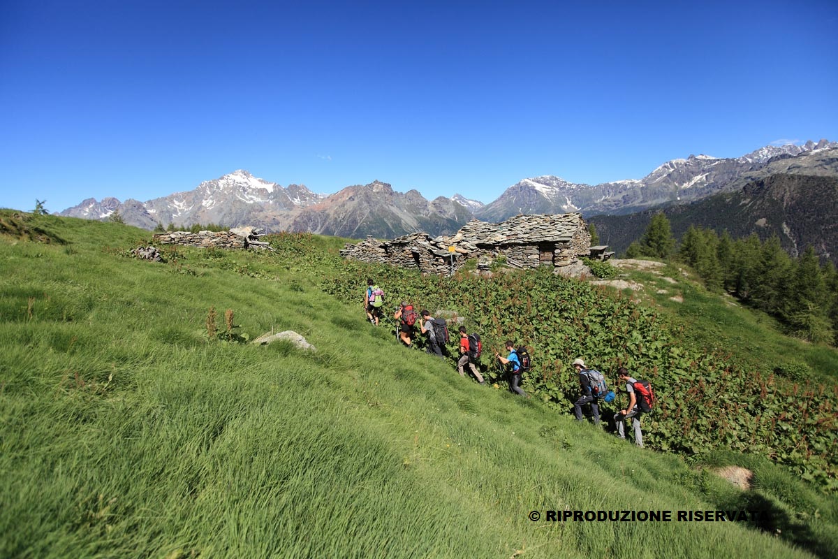
Place of departure: Cristina shelter Maximum altitude: 2300 mt Difference in altitude: +100 m / -500 m Route time: 5 h Distance: 12 km It is the final stage of the High Route that allows you to…
Lake Montorfano
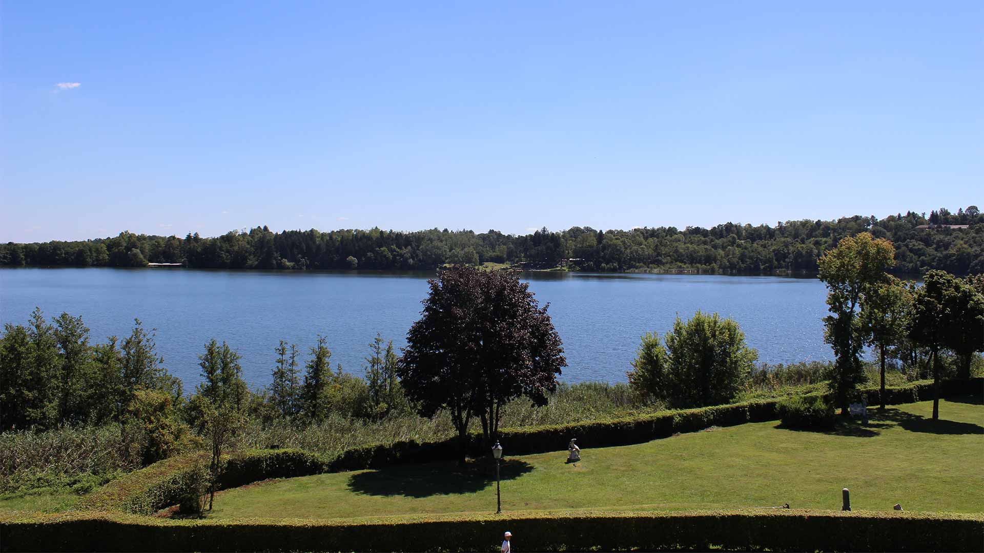
Lake Montorfano is the smallest lake of Brianza. Beyond its modest size, the round form and the always cold water make it the strangest lake around Lake Como. From the streets of the town, you can…
5 Thing-to-do in Gravedona
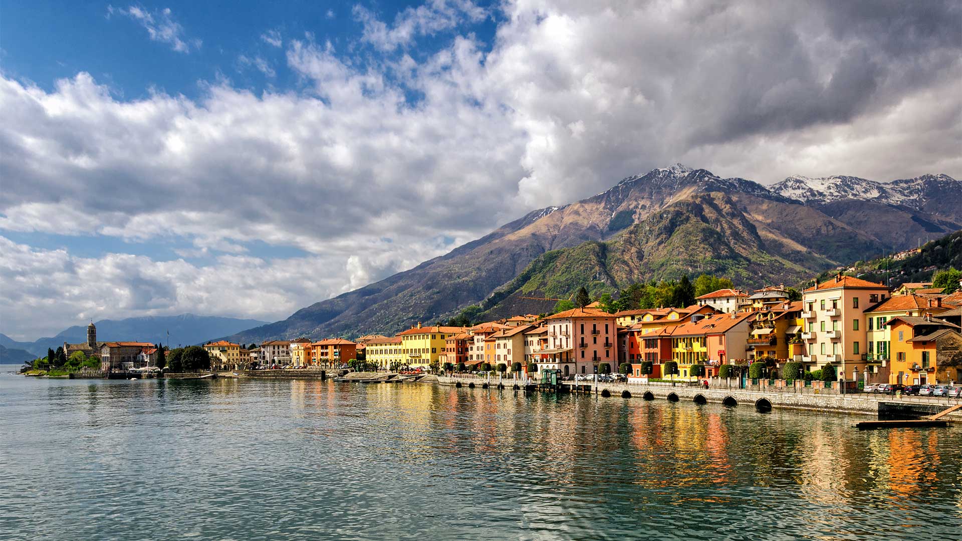
Gravedona, located on the western shore of Lake Como, is one of the most important town of the territory, thanks to its strategic position and the beauty of surroundings. Gravedona, animated by…