I found 114 results for ciclabile

Greenway of the streams of Bergamo

In the greenery to the northwest of the city

Borgarello

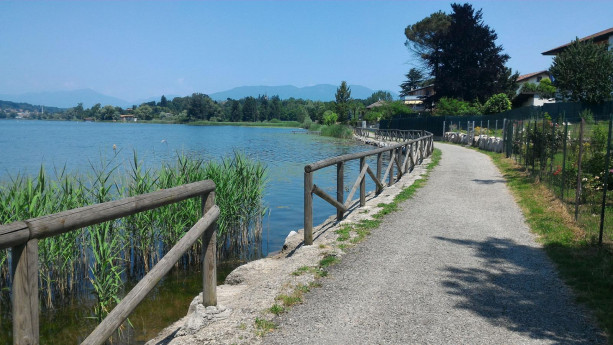
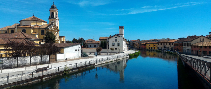
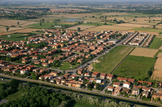
B Orgarello is located in the Pavese area, in the plain north of Pavia, along the Naviglio Pavese. During the Visconti era, it was included in the Parco Nuovo, a vast hunting estate between the Castle of Pavia and the Certosa.   THE VISCONTI PARK Originally known as Barco (Barcho Vecchio) of Pavia, it covered an area of 14 km² with a perimeter of 15 km. It was created by Galeazzo II Visconti after 1360 and enclosed by a brick wall 4 braccia (approximately 2.5 meters) high. The park stretched northward from the city up to Cantone delle Tre Miglia (Borgarello), San Genesio, and Due Porte. Around thirty years later, his successor Gian Galeazzo expanded the park to 22 km², extending it from three to five miles northward. He built a new wall to enclose Torre del Mangano, Porta d’Agosto, Ponte Carate, and Porta Chiossa. By 1399, the perimeter wall was completed: nearly 25 km long, with a thickness of three brick heads (around 90 cm), foundations 2 braccia (about 1.25 meters) deep, and a total height of 5 braccia (around 3 meters), including a small roof on top. The construction and maintenance of the park required extensive hydraulic engineering, sophisticated for its time, anticipating Leonardo da Vinci’s works, much like the Milanese canals. The park was rich in forests of oaks, chestnuts, alders, and elms. It was a vast hunting garden where nature and human ingenuity were intertwined in a harmonious landscape. Many ancient place names were altered to glorify the new ruling family, with few exceptions—such as Borgarello—and the dedications of the two churches in Borgarello and Torre del Mangano to two "warrior saints": Saint Martin of Tours, linked to pilgrimages, and Saint Michael, a figure traditionally connected to the Lombards. The gates of the park still bear their historical names after more than six centuries, even though traces of older dedications have been lost. Following Ludovico il Moro’s fall in 1500, the park began its decline. After the Battle of Pavia in 1525, numerous breaches were made in the walls, and large sections were either collapsed or dismantled by local farmers for reuse, leading to the park’s eventual complete demolition. THE NAVIGLIO PAVESE Begun in the 16th century under Spanish rule but later abandoned, the canal project was revived during the Napoleonic era and completed under the Austro-Hungarian government in 1819. Until the post-World War II period, it was crucial for irrigation and navigation. Barges, pulled by horses, transported gravel from the Ticino River to Milan’s Porta Ticinese port, and occasionally even passengers willing to endure a long but pleasant journey. Navigation was facilitated by the canal’s gentle slope and the presence of locks, designed with Leonardo-inspired engineering, to manage elevation changes. The towpath along the Naviglio was historically known in 15th- and 16th-century documents as the “Duke’s Path” or the “Lord’s Path.” Until recent times, where the bridge now stands, a granite parapet marked Borgarello’s overlook onto the towpath, known as the “sasso.” This gave rise to the local saying, “d’la Rüsa al Sass,” referring to the village’s easternmost and westernmost boundaries. Today, a cycling path runs along the Naviglio Pavese, following the waterway for 30 km from Milan to the Certosa di Pavia and continuing another 6 km to Pavia’s historic center. CASCINA REPENTITA Remnants of the ancient Visconti Park can still be seen at Cascina Repentita, which was already documented with this name in a deed from 1111. The name likely derives from its historical role as a refuge for “repentant prostitutes of Pavia” during the early Middle Ages. The farmhouse is situated on the rural road connecting Cantone Tre Miglia to the villages of San Genesio and Mirabello. It features the typical square base of Lombard rural buildings, though it has undergone modifications and is now in poor condition. Nestled among rice fields and near the railway line, it became famous thanks to Francis I, King of France. This farmhouse holds significant historical importance—look for the plaque that explains why. Legend has it that Zuppa alla Pavese was invented here by a local peasant woman as an improvised dish. Do you know the recipe? The battle between the French and the Spanish began “at the break of dawn.” Close your eyes and imagine the colors and sounds of the battlefield. According to tradition, after his defeat, Francis I wandered through the countryside, exhausted and hungry. He is said to have uttered the famous words: “All is lost, save honor and my life, which is spared.” A peasant woman saved his life by offering him food. “At the fireplace, a broth of barlande (borage) was simmering, but no meat—then a rare commodity. She took a slice of homemade bread, baked the previous Sunday in the communal oven, and a fresh egg.” The king was so impressed that he later introduced this simple yet delicious soup at the French court, where it became a celebrated dish with a legacy lasting for centuries. SOURCE: Municipality of BorgarelloPHOTO: "Villa in Comune" Committee  
The Pavia Via Francigena by Bike

The Via Francigena has been the main connection between Rome and Europe for centuries, and it continues to be so today. In fact, in 2004, it was declared a "Great European Cultural Route" by the Council of Europe, and in 2007, it was recognized as a "Reseau porteur," a key network. For the Province of Pavia, the Pavia section of the Via Francigena (as well as the entire route) serves as a model for enhancing and restoring the architectural and environmental heritage of the province's artistic and cultural assets. The Via Francigena is a valuable resource to be shared and offered to pilgrims and tourists alike, as well as to local residents, showcasing the beauty of the churches, monuments, the University, the river, and the forests that define the landscape along the route. The section of the Via Francigena that crosses the Province of Pavia begins in Palestro, in the heart of Lomellina, and reaches Chignolo Po, covering a total of 126 kilometers, which can be completed in three major stages: The first stage, about 42 kilometers long, runs from Palestro to Tromello. The second stage, 32 kilometers, goes from Tromello to Pavia. The final stage, 52 kilometers, extends from Pavia to the hamlet of Lambrinia in Chignolo Po. These three stages mirror the stops made in the Pavia area by Sigeric, Archbishop of Canterbury, on his return journey from Rome. He passed through Santa Cristina Bissone, Pavia, and Tromello, marking them as the 40th, 41st, and 42nd stops of the 79 total stages of the European route. This itinerary is designed for those who love to travel on two wheels. It can be tackled with either mountain bikes or city bikes and does not present significant elevation challenges. The maximum elevation gain is less than 15 meters, with the highest point at 121 meters in Palestro and the lowest at 50 meters in Lambrinia, along the Po River embankment, marking the final stop in the Pavia territory. The starting point is the wooden bridge over the Crocettone canal, marking the border between the provinces of Vercelli and Pavia. In the Province of Pavia, the cycling route runs near two railway lines, the Pavia-Mortara-Vercelli and the Pavia-Codogno-Cremona, both of which allow bike transport. On roads open to motorized traffic, it is recommended to always wear a helmet and to ride preferably between 9:00 and 11:30 AM or between 2:00 and 5:00 PM to avoid peak traffic hours.
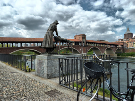
Ponte Coperto Pavia

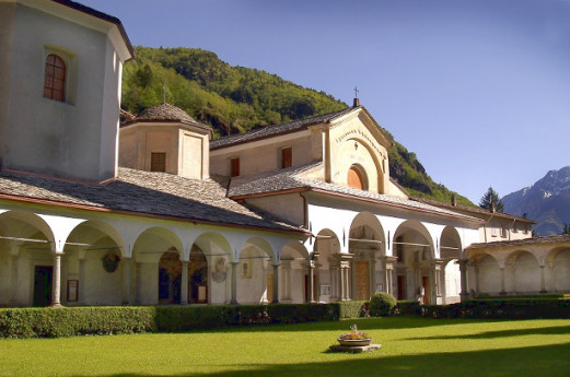
Chiavenna

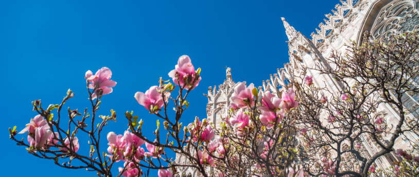
April 2025 Events in Lombardy

April brings the spring to Lombardy, with trips out of town, seasonal flavours, art initiatives, and sporting events
Events Lombardy

Infopoint Alto Lago d'Iseo

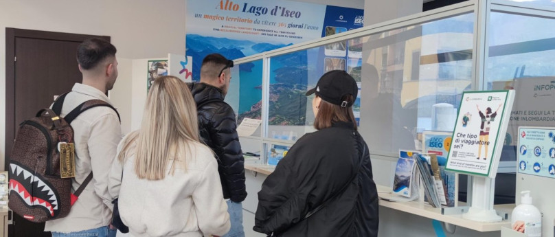
Alto Lago d’Iseo Tourism Office in Lovere is found in the centrally located Piazza 13 Martiri square, easily reached by any means of transport whether public or private, due to its strategic position linking Valle Camonica, all of Lake Iseo and Val Cavalina. The main services offered to visitors are:- information and distribution of materials regarding historical, naturalistic, cultural, artistic and sports issues of the specific area and the entire Bergamo province;- distribution of panoramic maps of paths and excursions for exploring the natural heritage of upper Lake Iseo;- information on lodging and dining in the upper Lake Iseo area;- information on transport and roads;- information and dispensing of sticker permits for watercraft moored in the harbours managed by the Lake Basin Authority for Lakes Iseo, Endine and Moro. At the Infopoint visitors can:- ask for and get #inLombardia Passport as well as #inLombardia Passport stamps;- get a stamp on their “Cammino di Carlo Magno”/”Cammino Alta Via delle Grazie”/”Cammino Tre Laghi” credential (passport). The upper Lake Iseo area is found on the northern Bergamo province shore of Lake Iseo, just kilometres away from the cities of Bergamo, Brescia and Milan and from Orio al Serio, Milan-Malpensa and Linate international airports, to which it is linked by an efficient public transport network. It is a land teeming with art, history, traditions and enchanting landscapes ranging from gentle and sunny hilltops the magnificent upland of Fonteno and stunning spectacle of the Orrido: dizzying sheer rock faces plunging into the lake. Countless panoramic views can be enjoyed at Castro and the communities of Solto Collina, Fonteno and Rogno, where there's the popular cycling track with a modern bridge over the Oglio River. With its marina, the town of Lovere is particularly renowned and the well preserved historic centre is considered one of Italy’s most beautiful with many imposing churches and magnificent palaces. Amongst these, the most important is undoubtedly the building of the Tadini Art Gallery and Academy, which contains several works of fine art by Antonio Canova. There has been growing interest for the “Bueno Fonteno” cave system, for the “Valle del Freddo” (Cold Valley) natural reserve and the wide variety of sports and leisure activities.