- Active & Green
- Sport
Teglio - San Martino - Murenken - St. Anthony walk.
It is possible to leave the car in the large parking lot in front of the cemetery of Teglio.
You then walk a few meters on the provincial road in the direction of the village of Teglio. Near a grove of conifers (with specimens of cedar, spruce, douglas fir), there is a small rest area with a table and benches, from which a small road directed toward the bottom of the valley starts, paved for a short stretch. Upstream, the bell tower of St. Martin's Church can be seen.
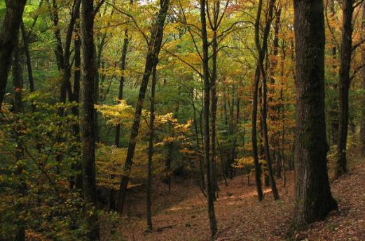
Near the access to a private area, you descend to the left along a dirt road and, having traveled a few dozen meters, you find yourself among meadows and woods in the locality of Murenken. At the next fork, near a birch grove, you proceed to the right and then cross some meadows and fields. You then skirt, for a short distance, an old mule track, which you later join, entering a chestnut forest. The road descends steeply, until it reaches the paved track of the provincial road that leads from Chiuro to Teglio; from this poastation, there is a wonderful view of the entire central portion of Valtellina.
Turn left and walk a short downhill stretch on asphalt toward the clearly visible church of Sant'Antonio, later taking the small asphalt road that, at the end of the hairpin bend you have just traveled, descends to the left and then to the church. Continue in the direction of the built-up area of Teglio and reach the built-up area of the Sant'Antonio district. Near a stone-covered fountain, you take a steep concrete road that you follow, leaving the fountain to your left. Noteworthy is the wall fresco of a votive character in the vicinity.
You then turn left, continuing a few more meters on concrete and then turning right, still on concrete, overcoming a short very steep section. You then come to the dirt road and, leaving the last houses of Sant'Antonio, continue alongside an apple orchard, still in the direction of Teglio.
Upstream of a high-tension pylon, continue straight ahead again in the direction of the power line. You then reach a new dirt track and take a left, leaving a small bridge on your right. You then climb rapidly toward the provincial road, which you reach near a dwelling. Turn left and walk a few dozen meters to find yourself back at the starting point.
Difficulty: easy
Type: loop
Walking time: 1 hour and 40 minutes
Suitable for families with children


")