- Itinerari
The Ways of the Wayfarer
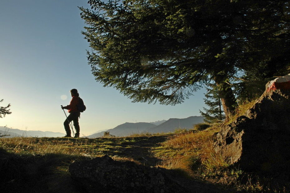
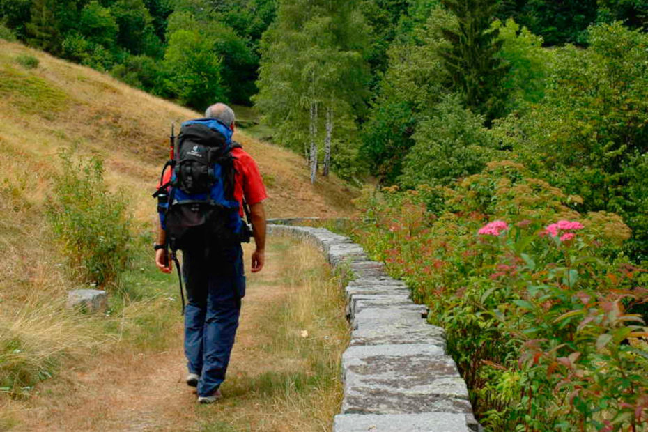
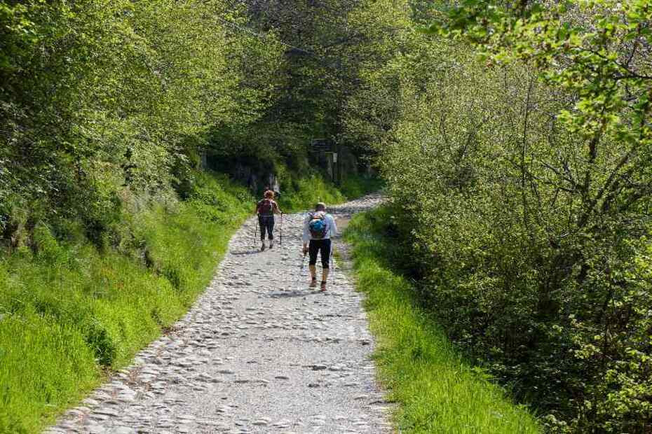
An international historical path of about 220 km, linking the San Bernardino to Milan
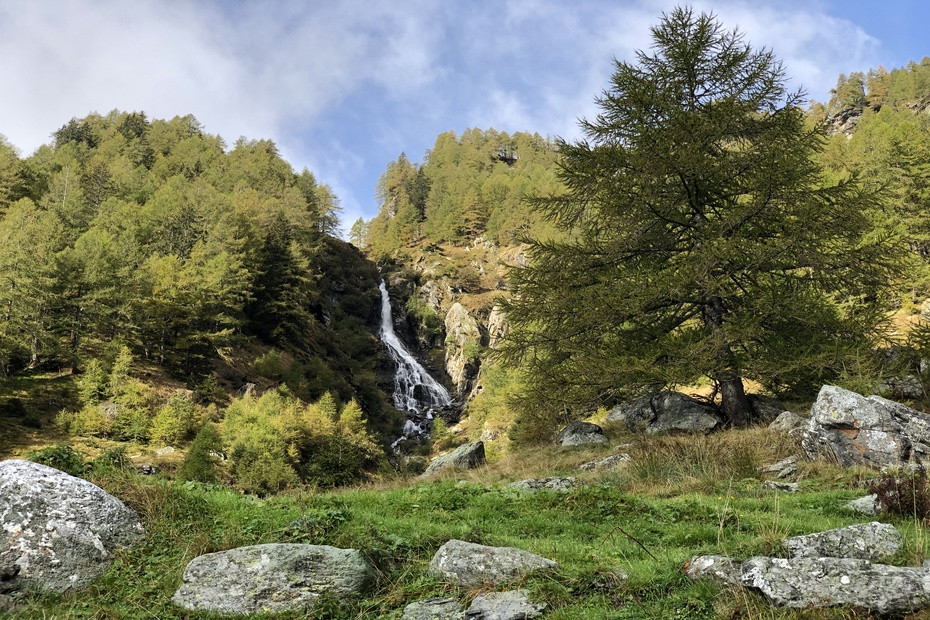
An international historical trail of about 220 km, rich in culture, breathtaking scenery, sport and wellness proposals.
A network of paths connecting the San Bernardino to Milan, through the Mesolcina Valley, Valchiavenna, Lake Como and the Adda River. Twelve paths united by a common destiny: that of becoming one of the most beautiful and special paths that wayfarers have traced over the centuries.
Mostra cosa c'è nelle vicinanze:
1. San Bernardino Street
A historic route, probably already active in Roman times, repurposed and much used for commercial traffic in the medieval period. The route is divided into three routes.
The first, from Roveredo to Cama, is 6.8 km long and can be covered in 2h. The second section, from Cama to Soazza, is 13.8 km long and can be covered in 4h. The last, from Soazza to San Bernardino, is 15.9 km long and can be covered in 5h 30m.
2. Baldiscio-Balniscio Pass
A long traverse linking Valchiavenna and the Mesolcina Valley via the Baldiscio/Balniscio and Serraglia passes. From Isola to Pian San Giacomo (CH), the route is 14 km long.
3. Forcola Pass
The route along the Forcola Pass, a link between the Valchiavenna Valley (Gordona, Mese and Chiavenna) and the Mesolcina Valley (Soazza) was known and practiced, since the Middle Ages (and probably even earlier), for military purposes. The route from Gordona to Soazza is 20.5 km long and can be walked in 10-12h.
4. Notar's Mouth
The Bocchetta del Notar connects, at high altitude, the Bodengo Valley, accessed from Gordona on the Italian side and the Cama Valley on the Swiss side.
The route is known as the "Via dei Crotti" and offers opportunities for gourmet stops at the many typical mountain restaurants. The route from Gordona to Cama is 24.5 km long and can be covered in 13h.
5. Mouth of Agnon
The Bocchetta d'Agnon (also known as the Bocchetta di Cama), is the high-altitude pass between Italy and Switzerland that allows you to reach the Cama Valley from the Darengo Valley (via the Passo dell'Orso), with a rather long route, reserved for experienced hikers who are familiar with high altitude mountains.
The first section crosses the Bretella Bocchetta della Crocetta, a 2.5-kilometer-long connecting trail. The second section, from Peglio to Cama is 25.4 km long and can be hiked in 14 h.
6. Mouth of Camedo
This is a historically secondary route, beaten mainly by herdsmen and hunters, joined later by the "spalloni," the smugglers who used it intensively for their cross-border trade from Gravedona and Dongo to Roveredo.
From Rifugio Vincino to Roveredo, the route is 14.8 km long and can be covered in 7h.
N.B.: Keep in mind that the stage - challenging - has no intermediate facilities for overnight stay.
7. Spluga Street
The Via Spluga was a Roman consular road, built in the late 1st century BC at the behest of Augustus, connecting Milan with Lindau via the Spluga Pass. The pass was known as the Cunus Aureus, because gold was mined along it in mines carved out of the mountain massifs; hence the other name Via Aurea by which this route was known.
From Splϋgen to Isola di Madesimo, the route is 17.4 km long and can be walked in 6h.
The second section, from Isola di Madesimo to Chiavenna, is 18.3 km long and can be covered in 5h 45m.
8. Francisca Street
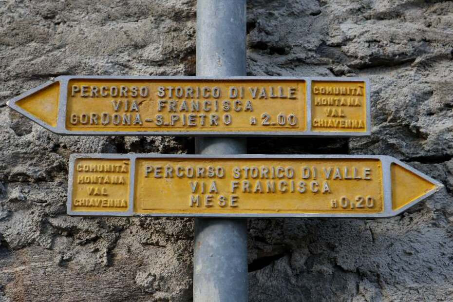
The Via Francisca is a section of the ancient Via Regina that starts in Sorico and reaches Valchiavenna by crossing the watershed between the provinces of Como and Sondrio, east of Mount Berlinghera.
The stage is divided into two routes. The first, from Chiavenna to Samolaco, is 12.8 km long and can be covered in 3h (4h 15m high variant). The second, from Samolaco to Sorico, is 13.5 km long and can be covered in 5h. The latter includes a 1.5km variant to reach the small church of San Fedelino, and a 1.1km variant to see the church of San Miro.
9. Wayfarer's Path
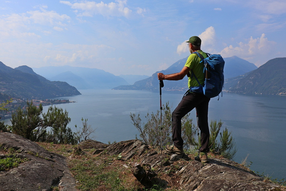
The Sentiero del Viandante (Wayfarer's Path) retraces an ancient mule track along the eastern shore of Lake Como (from Lecco to Colico), offering an alternative route to the lake and the Via Regina to Valtellina and to the Spluga, Settimo and Julier Alpine passes.
The stage is divided into 8 routes. The first, from Sorico to Colico, is 11.5 km long. The second, from Colico to Dorio, is 9.5 km long, with a 5.3 km variant to reach Madonna di Val Pozzo. The third, from Dorio to Dervio, is 3.9 km long. The fourth route, from Dervio to Bellano, is 4.8 km long. The fifth, from Bellano to Varenna, is 4.8 km long.
The sixth, from Varenna to Lierna is 8.5 km long, while the high variant that reaches the splendid Vezio Castle is 9.7 km long. The seventh section, from Lierna to Abbadia Lariana, is 10.5 km long. Finally, the last one, from Abbadia Lariana to Lecco is 7 km long and in about 2h leads to the city center.
10. Leonardo's Path
An easy route from Lecco to Milan, mostly flat or slightly downhill, on mostly paved surfaces. It can be walked by anyone, either on foot or by bicycle, even with children since it presents very few safety problems. For the most part it is a wheelchair accessible route.
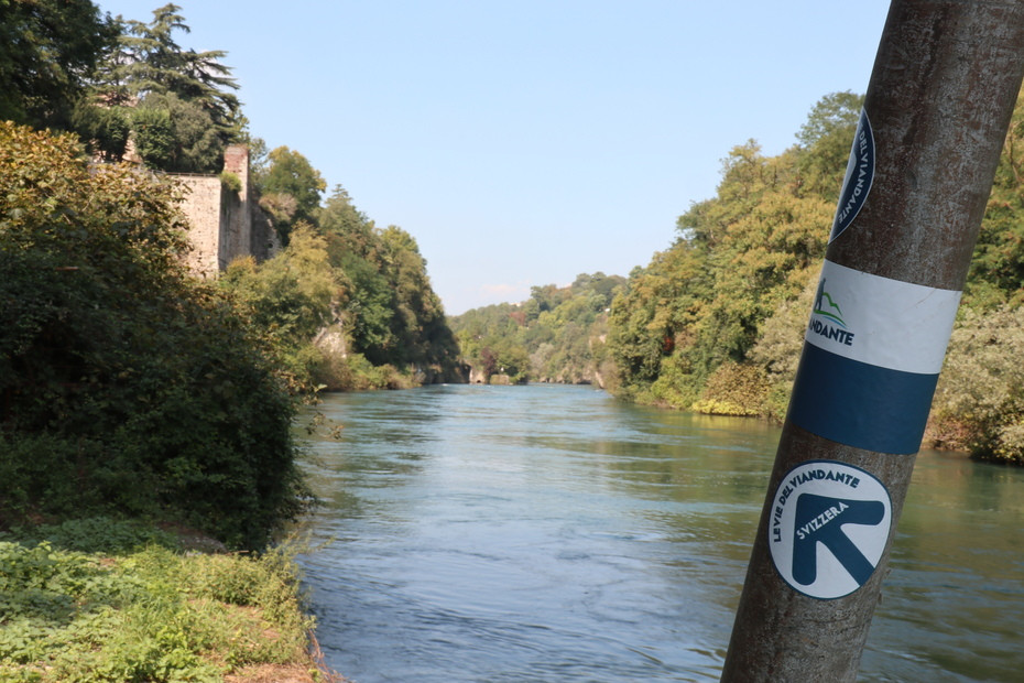
It has a length of 78.6 km and can be divided into 4 stages, with a degree of difficulty Easy (T). The first section from Lecco to Imbersago is 21.3 km long and can be covered in 5 h, arriving at Leonardo's Adda Ecomuseum.
The second, from Imbersago to Cassano d'Adda is 25.8 km long and can be covered in 6 h. The third, from Cassano d'Adda to Cernusco sul Naviglio, is 15.9 km long and can be covered in 4h. The last section, from Cernusco sul Naviglio to Milan Piazza Duomo, is 16.2 km long and can be covered in 4h.
An alternative scenic variant connects the lakefront of Lake Garlate with one of the most picturesque villages in the valley, in 1 single leg, from Vercurago to Erve, 5.2 km long.
11. Via dei Monti Lariani
The Via dei Monti Lariani is a hiking route that is part of the Lombardy section of the Sentiero Italia, an approximately 6,000-km route that crosses the entire country. The Via dei Monti Lariani connects Cernobbio to Sorico, running along the entire western side of Lake Como at high altitude.
The route is divided into 7 routes. The first, from Como Piazza Cavour to Schignano, is 19.1 km long and can be walked in 7h 30m. The second, from Schignano to San Fedele d'Intelvi, is 19.5 km long and can be covered in 6h 30m. The third, from San Fedele d'Intelvi to Lenno, is 18.9 km long and can be covered in 6h 30m.
The fourth section, from Lenno to Plesio, is 21 km long and can be covered in 8h 30m. The fifth, from Plesio to Garzeno, is 17 km long and can be covered in 6h. The sixth, from Garzeno to Peglio, is 23.6 km long and can be covered in 8h 30m. The last section, from Peglio to Sorico, is 25.7 km long and can be covered in 8h 30m.
12. Royal Road
The Strada Regia is a historic route about 35 km long that connected all the towns on the eastern shore of the Larian Triangle from Como to Bellagio, allowing shepherds, wayfarers and traders to cross the entire territory.
The first section of the route, from Como Piazza Cavour to Nesso, is 21.7 km long and can be covered in 8h. The second section, from Nesso to Bellagio, is 15.5 km long and can be covered in 5h 30m, with a low variant to reach the lakeshore of 1.5 km.
