- Itinerari
Excursion to the Stelvio, the Filon dei Mot
The evocative remains of the military village of Filon dei Mot can be reached along two main routes: the one that, in the Braulio Valley, runs from the 3rd Cantoniera of the Stelvio state highway and the one that starts from the pass of the same name, touching the summit of Mount Scorluzzo.
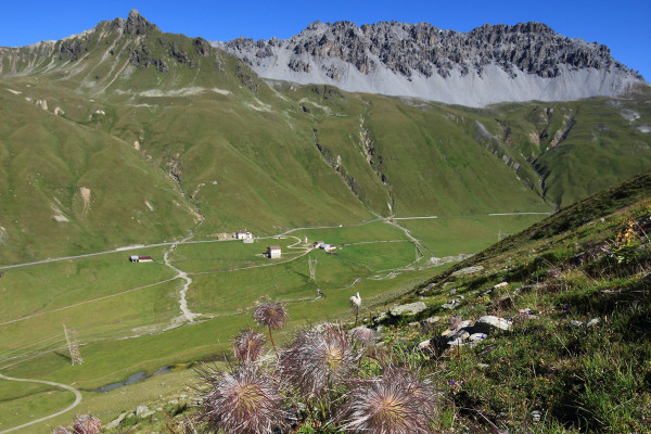
We opted in this case for the second hike, which is spectacular for the scenery it offers. Leaving the car in the large parking lot of the cable car that leads to the glacier, from the well-known pass between Lombardy and Alto Adige we set out along the dirt road in the direction of the Platigliole Pass (trail number 506). Almost immediately we leave the now abandoned Rifugio Compagnoni on the left and reach, continuing through thin scree, the Platigliole saddle.
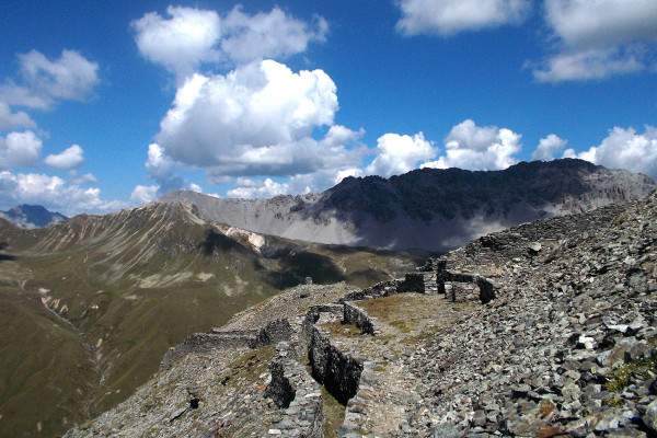
We now ascend a path that climbs a small valley to a small pass where, on the right, we can gain elevation 2,995 meters, called Scorluzzino, overlooking the Stelvio Pass. There you will find a cross dedicated to the fallen Austrians, numerous trenches, a machine gun emplacement and walkways. Taking a left instead, we go to the Vetta dello Scorluzzo, also characterized by trenches, walkways and tunnels dating back to the Great War.
From here, past a steep gully that requires some attention, we descend along the west ridge of Scorluzzo, mostly on scree, dotted with remnants of Austrian emplacements. Their sudden absence indicates that we are in what was no man's land in wartime. Past a wide creek the ridge splits: to the left it faces the Valle dei Vitelli, to the right the Piano di Scorluzzo. We encounter the circular observatory, Italy's first military work.
We remain on the side of the Valle dei Vitelli and continuing among remains of military posts we find ourselves in the middle of the Filon dei Mot Village. If ascending with two cars, having left one at the height of the 3rd Cantoniera, it is possible to descend by the other route to which we have mentioned.
Mostra cosa c'è nelle vicinanze:


