- Itinerari
- Religious Tourism
Monks' Way
Among the paths of faith, one cannot forget the Cammino dei Monaci, an itinerary that runs southward from Milan to the Po River and the Via Francigena.
When the route reaches Corte S. Andrea, the end point of the path, it finds its transshipment towards the Emilian shore. As had already been noted in 1936 by G.C. Bascapé, in a precursor study on pilgrim paths, an important communication route, partly by river along the Lambro, and partly by land, united the city of Ambrose to the 'ports' of the Po.
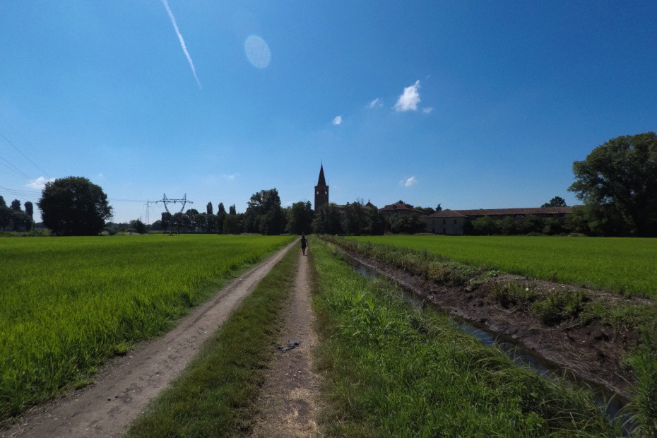
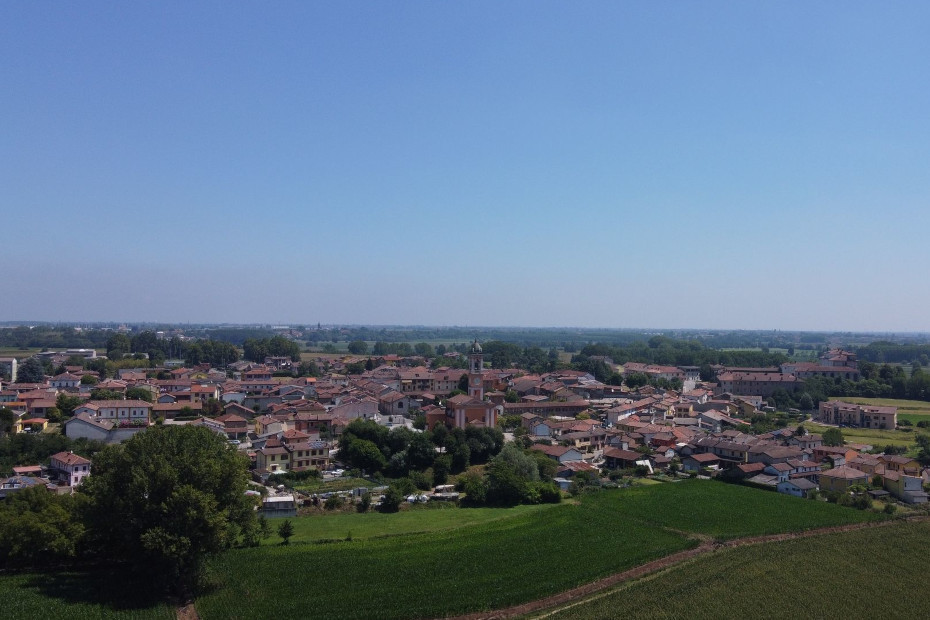
The Cammino dei Monaci replicates this ancient route in modern form, uniting the churches and various abbeys found in the Lower Milanese and Lodigiano areas. And it was precisely the monastic communities that made the countryside that this path crosses fertile, with works to control water and rotate sowings. Beginning in the Middle Ages, in Viboldone, Chiaravalle and Calvenzano, they began to thin the thickets, drain and drain the marshes, regulate the water, and put ever larger expanses of land under cultivation.
The marcite system, in more recent times, also originated on these territories, a true productive innovation that initially went to support the war machine of the lords of Milan. Thus was born the landscape we see today, then less contaminated by urban expansions and large infrastructures.
Ph: Assoc. Nocetum
As you travel as "Pilgrims of Hope" along this itinerary during the Jubilee year 2025, you will be able to stop at two jubilee churches
- The Shrine of Santa Maria dei Miracoli near San Celso in Milan, Italy.
- The Basilica of San Bassiano (or of the XII Apostles) in Old Lodi
Information on organized proposals on the route of the walk during the Jubilee year at the websites: www.valledeimonaci.org - www.nocetum.it
Mostra cosa c'è nelle vicinanze:
1. From Milan, Sant'Eustorgio to Tavazzano con Villavesco.
The route presented below can be divided into two shorter stages, or it can start from the outskirts of Milan, leaving out the part of the walk on city streets.
FIRST PART.
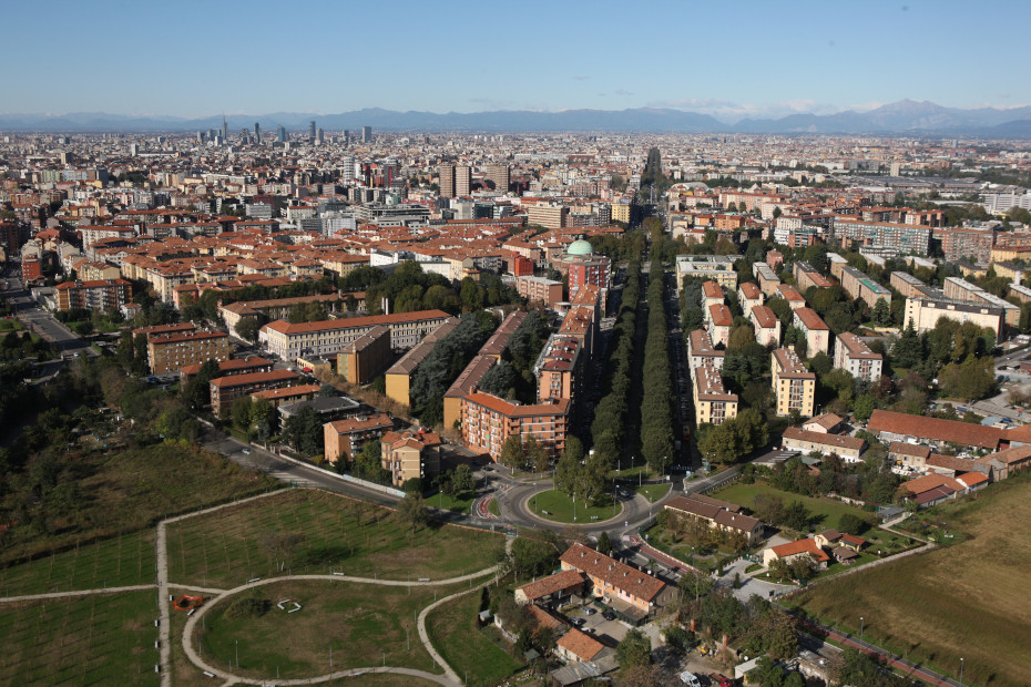
The first part of the route runs from Milan, Piazza Sant'Eustorgio, to the Abbey of Viboldone, for about 15 km and about 3 hours and 30 minutes of walking, always on level ground. The walk starts from the center of Milan, from the Basilica of St. Eustorgio, in Porta Ticinese the district of Milan anciently related to the countryside and dairy production. Some of the city's major churches can be visited, Basilica of San Lorenzo Maggiore, S. Nazaro in Brolo, before approaching the directrix of Corso di Porta Romana, a traditional historic access road to the city still marked by the gate erected on the Spanish walls in 1596.
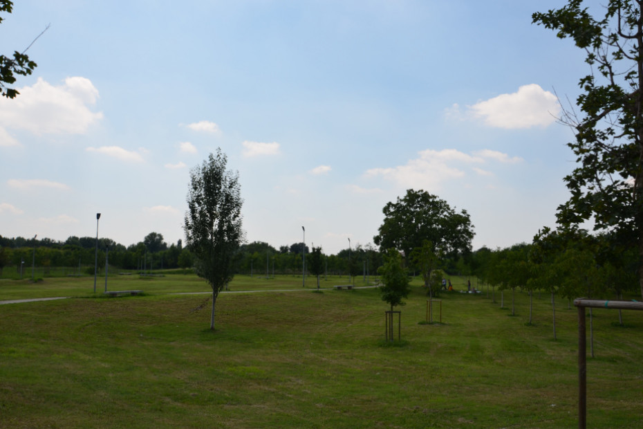
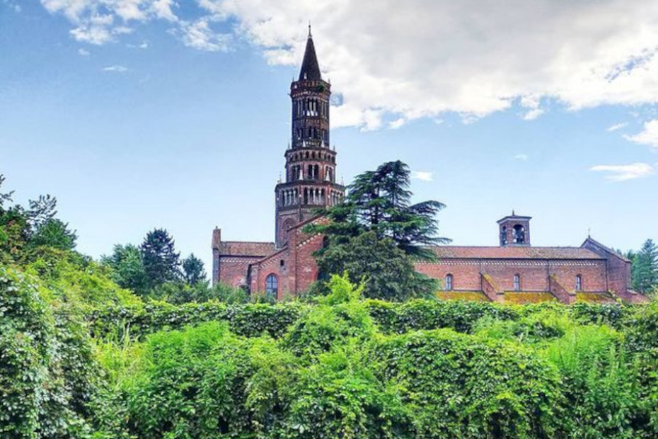
On the city outskirts, the path crosses the Nosedo district, an ancient agricultural suburb whose old farmsteads now host social activities, while the open spaces have been set aside for public parks where an attempt has been made to recreate the traditional agricultural landscape of the Bassa with fountains and marcite. The Vettabbia Park makes an ideal connection with Chiaravalle Abbey. Recognizable by its tall nolar tower, the abbey was promoted by St. Bernard of Clairvaux in 1135. Of great note are the 14th-century frescoes, the 17th-century wooden choir and, at the entrance to the monastic complex, the chapel of St. Bernard.
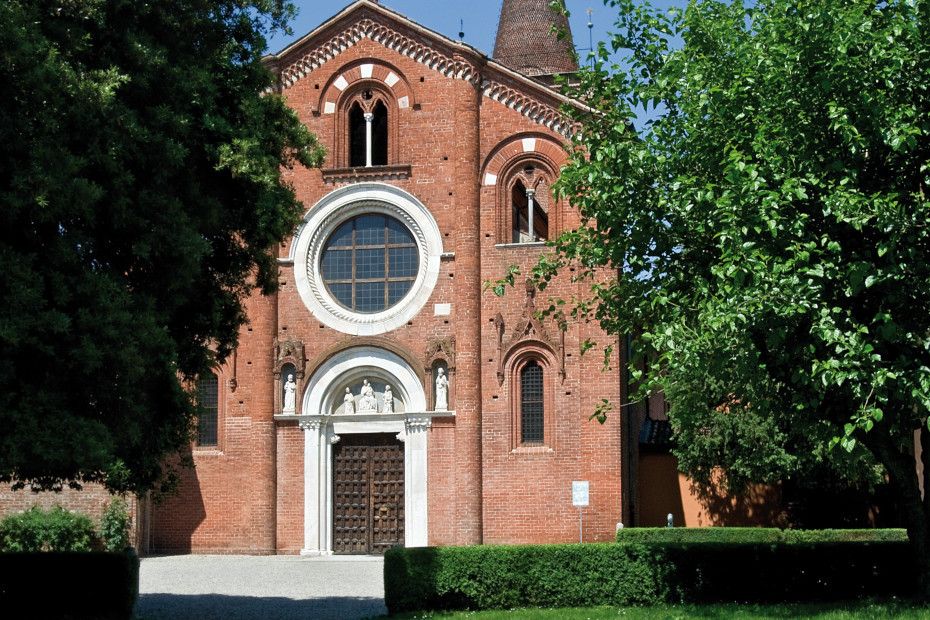
After the dutiful visit, the path turns to fringe territory between industrial areas, railways and roads. A few stretches follow the asphalt, without protection. The landscape changes after Civesio, approaching the village and the Viboldone Abbey, founded of humble monks in the 12th century and enlarged during the first half of the 14th century. The sober and rigorous interior is frescoed with interventions attributed to artists such as Giusto de Menabuoi and Michelino da Besozzo.
SECOND PART.
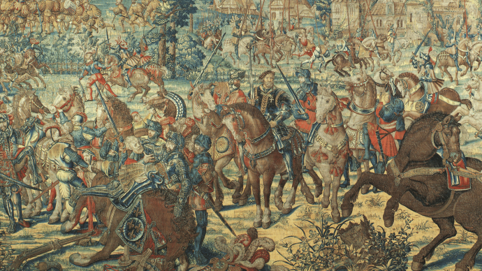
The second part of the trail runs from Viboldone Abbey to Tavazzano, for about 16 km and about 4 hours of walking, always on level ground. Following at some distance the Roggia Vettabbia, a waterway today with an irrigation function but in the past, since Roman times, a navigable route, the path points south to reach Melegnano. However, a variant is also proposed that from Viboldone, passing through S. Giuliano Milanese, follows the Trail of the Giants named after the tremendous battle of Marignano in 1515, which saw 30,000 men from the army of Francis I of France clash against about 20,000 Swiss confederate soldiers in the pay of Maximilian Sforza, who came off worst.
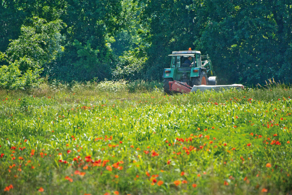
The two routes meet at Melegnano. Of particular interest for its classic brick wall face and structure, the result of the juxtaposition of buildings from different eras, is the Basilica of S. Maria Assunta in Calvenzano, founded in the 11th century. Admire the carved entrance portal and the 14th-century frescoes in the apse. In the adjoining convent Severinus Boethius is said to have been executed in 524. Now the path, past Vizzolo Predabissi, aligns with the course of the Lambro River following low-traffic provincial roads. The landscape is classic Bassa with vast expanses of fields for fodder crops. The path has now moved east of the Via Emilia, the Roman road that, with the Via Flaminia, joined Rome with the regions beyond the Po. Impossible to travel on foot, the Cammino dei Monaci opts for a quiet wander through the countryside bathed by the waters derived from the nearby Muzza Canal and after Casalmaiocco enters Tavazzano, site of one of Lombardy's most impressive thermoelectric power plants.
Much of the walk takes place within the Parco Agricolo Sud Milano, a large area extending in a semicircle along the southern perimeter of the province of Milan consisting of 61 municipalities.
2. From Tavazzano con Villavesco to Fornaci di Borghetto Lodigiano.
Long stop, entirely in the Lodigiano countryside, with the vast courtyard farmsteads, the founding nuclei of agricultural colonization, perfected in the 19th century with the large 'industrial' farms where farmers and their families resided, dealing mainly with dairy cattle breeding.
To this day the Lodigiano region retains leading positions in the production of milk and its processed products, including the well-known Grana Padano cheese. From Tavazzano we head through the fields to immediately point to Lodi Vecchio, a primitive settlement of the Roman Laus Pompeia, destroyed by the Milanese on two occasions in 1111 and 1158, only to be rebuilt where it is today, near the Adda River.
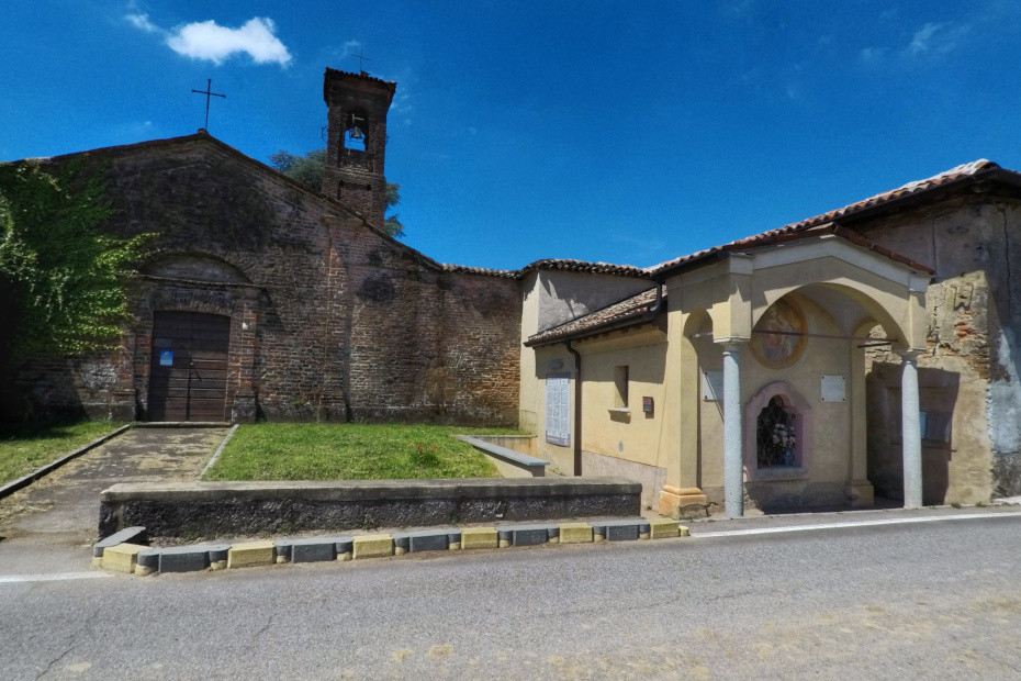
Just outside the town is the church of S. Bassiano, which has the fine aspects of 14th-century Po Valley churches in the transition between Romanesque and Gothic. It deserves a stop and a visit. We resume the journey with a long stretch through the countryside and finally reach Borghetto Lodigiano, a beautiful village of large farmsteads, with an elegant late Gothic palace in the main square, bisected by the Sillaro, a small lowland river. The stage, as far as overnight stays are concerned, closes 4 km later, at the hamlet of Fornaci, site of an agritourism.
3. From Fornaci di Borghetto Lodigiano to Corte S. Andrea.
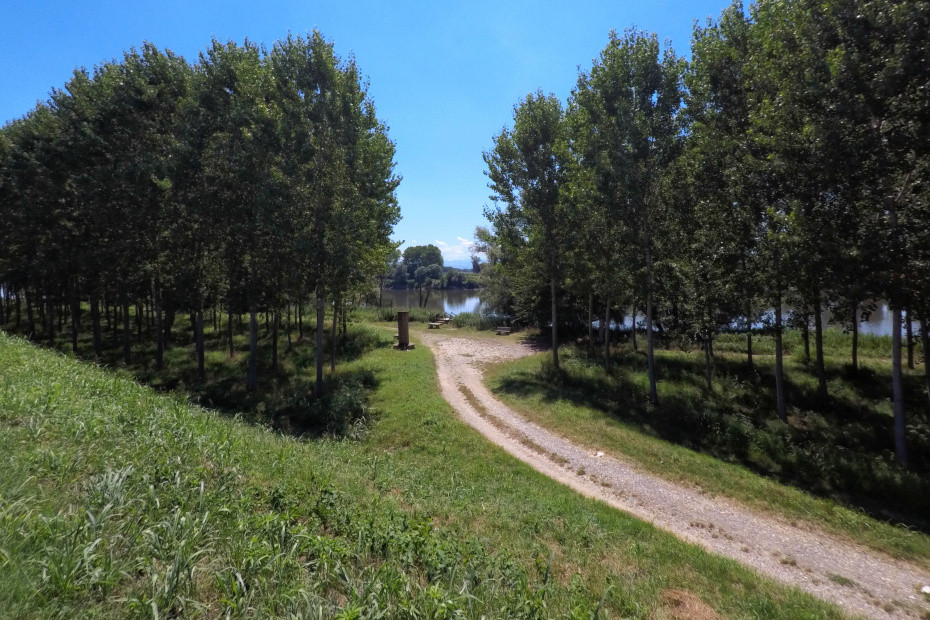
If the previous stage was long this one, on the other hand, is restful since we are now in the presence of the Po. We are descending toward the low lands of the Lodigiano, where in ancient times the roads coming from the Piacentino and heading to Milan, Pavia, and Cremona crossed, where the water regime remained unstable for a long time, where the Po threatened the inhabited areas from close by with its changing states of mind'moods translatable into ruinous floods, where the many pilgrims on their way to Rome found themselves lost, where, again, the Germanic emperors, precisely because of the convergence of so many roads, had the custom of implanting their periodic diets to settle major political issues with the not always accommodating Italian subjects.
The stage, by the way, provides a variation or, rather, an alternative. In fact, having reached the Lambro embankment, after carefully crossing the busy State Road 234, there are two alternatives: - continue to reach Corte S. Andrea immediately - deviate to the left to first touch Orio Litta. If we follow the latter suggestion we will find ourselves, in the built-up area of Orio, in front of the majestic seventeenth-eighteenth-century Villa Litta Carini, whose vanished garden overlooked the Po valley in terraces.
The path closes at Corte S. Andrea, an articulated colonial complex, mentioned in Bishop Sigeric's Roman itinerary of 990 (a cippus, on the bank of the Po, evokes the 'pass' of the river) and, even earlier, in documents of 887 when the widow of Ludovico II made a gift of it to the monastery of S. Sisto of Piacenza. On an access arch of the court can be seen the coats of arms of the families that had the court in periods closer to us: D'Este, Belgioioso, Trivulzio. The ferry, now a motor boat and not the precarious rafts of yesteryear, connects the Lombard shore with the Piacenza shore along the Via Francigena (Transitum Padi of Corte S. Andrea).
