- Itinerari
- Religious Tourism
Priula Street
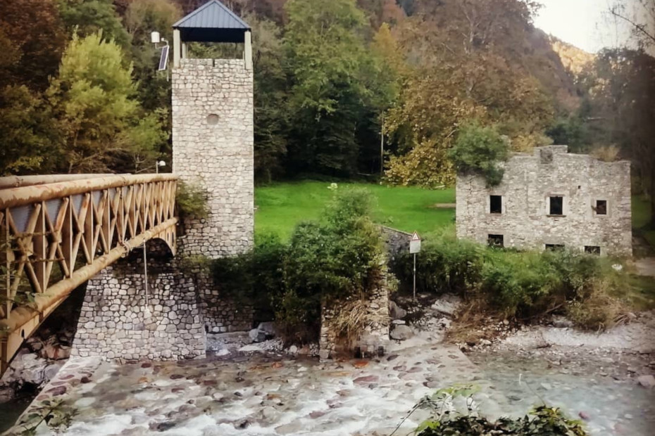
The Via Priula is a path of high historical value, retracing the route of the ancient trade road built in 1593.
It was started by the Venetian podestà of Bergamo Alvise Priuli to connect the Po Valley with the Valtellina, Valchiavenna and the transalpine, without passing through the Duchy of Milan, then under Spanish rule with its attendant impositions of transit duties.
The road was traveled by intense traffic, especially after Venice had entered into a treaty of alliance with the Three Leagues in September 1603. On the basis of this treaty, the Serenissima granted, in fact, exemption from duties both to goods produced in Italy and exported through the San Marco Pass, and to those from Valtellina and Graubünden exported to Venice. This path was therefore traveled by merchants, couriers, mercenary soldiers and cargoes of goods: wools, irons, salt, grapes, cheese and the saltpeter.
The rather wide road was passable along some sections by two-wheeled wagons and in the section of the San Marco Pass allowed passage with fully loaded pack animals. Today, from the upper Brembana Valley in the Orobic Alps one reaches Chiavenna through the Bitto Valley of Albaredo, lower Valtellina, and the Chiavenna Plain. From Chiavenna the path connects to the great transalpine trails of the Via Septimer and Via Spluga.
One approaches an area rich in monuments, cultures, gastronomic specialties, inns and hotels. The route, especially in the mountainous part, runs along the ancient mule track. In the valley bottoms, country roads, bicycle and pedestrian paths and other trails were favored. It covers about 80 km in 4 days of travel, touching, at the San Marco Pass, the maximum altitude of 1982 meters.
-
Ph Ig: @vale2389
Mostra cosa c'è nelle vicinanze:
1. From Piazza Brembana to Passo San Marco
Piazza Brembana, in the upper Brembana Valley, at the confluence of the two branches of the Brembo River, is situated along the ancient Via Priula, the road that connected Bergamo with the Canton of Grisons.
Traces of a glorious past remain in Piazza, such as the porticoed passageway and old wash houses. In the parish church, a polyptych dated 1503 by Lattanzio da Rimini depicts the episode in which St. Martin gives his cloak to the poor man.
Leaving Piazza, the path points toward Olmo al Brembo, following on a wooded trail down the lower slope of the Brembo valley of Mezzoldo. At Olmo the ancient Priula split into two branches: one, the one we will follow, pointed to Mezzoldo, the other to Averara and then up the wild Val Mora.
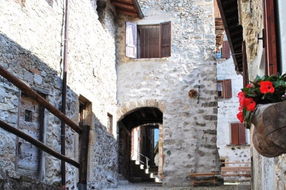
Staying off the modern carriageway we reach Mezzoldo. The village developed on steep crags, where stairways and porticoes, as well as painted frescoes and coats of arms, stand out. The parish church was consecrated in 1446, renovated in 1754 and is still celebrated according to the Ambrosian rite. The other prominent monument is the Venetian Customs House. It housed, after 1706, the official dedicated to controlling traffic along the Via Priula: every merchant had to pay a tribute for the maintenance of the road.
After Mezzoldo begins the best-preserved section of the late 16th-century road with pavements, ramps, and memorial stones on the side of the Orobic watershed. Eventually you reach the modern Passo S. Marco 2000 refuge or the historic Ca' S. Marco, built along with the road, which had stables, a tavern and collective rooms for wayfarers. It was not always inhabited, because it was difficult to find janitors who for meager compensation would agree to spend long winters at those heights. The stage is quite challenging, both in length and elevation gain.
2. From San Marco Pass to Morbegno
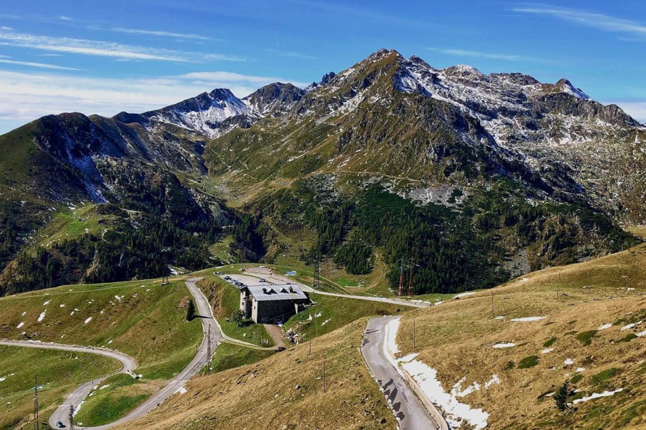
The S. Marco Pass (1982 m), until the end of the 18th century, was the border between the Venetian Republic and the Grisons. Because of its lower height, compared to adjacent passes, it allowed transits between the upper Val Brembana and Valtellina. Today the only rolling road that crosses the Orobic chain passes through it, while tangible traces of the mule track, the Via Priula, can be seen.
A stone cippus is placed on the summit to commemorate the Venetian road. The panorama opens north to the Rhaetian mountains, with Disgrazia, Ligoncio and Pizzo Badile, and south to the Bergamo Pre-Alps. The long descent to Valtellina is cadenced by spring-rich pastures, coniferous forests, mountain pastures and hamlets.
Intermediate stop is Albaredo per S. Marco, an example of new development of mountain centers. It is home to the Gateway to the Orobie Valtellinesi Park, the headquarters of theEcomuseum, a Bitto Alps dairy with a typical restaurant, an inn for hikers, and a multipurpose center.
For the daredevils of guided flying there is Fly Emotion: with a harness you are safely launched from one side of the valley to the other, from Albaredo to Bema. The streets of Albaredo are adorned with frescoes where the image of Our Lady of Montenero, venerated in Livorno, and present here with a statue in the parish church, often recurs.Tradition has it that the statue was transported on foot from the Tuscan city in 1790 as a vow from the valley dwellers who emigrated there.
Still treading the ancient pavement, we finally descend to Morbegno, entering directly into the historic center. The town's fortunes have a distant origin, thanks to its relations with the Bergamasque through the Passo S. Marco, and with the Milanese along Lake Como.
3. Morbegno to Novate Mezzola.
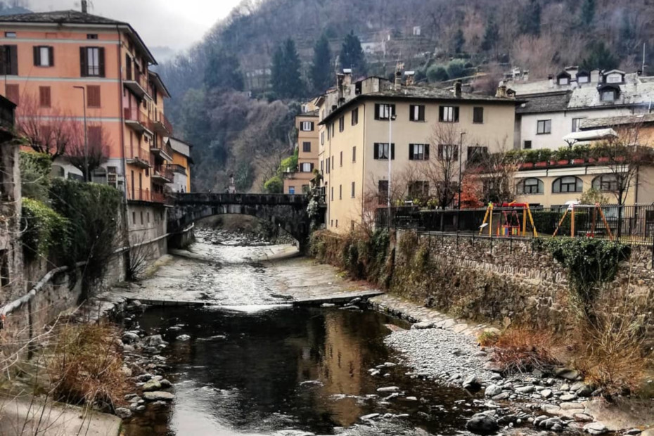
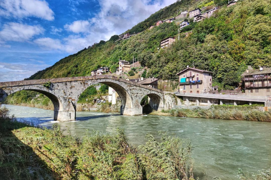
The ancient Priula Road ends in Morbegno, but the modern route, enhanced by municipalities and mountain communities, projects as far as Chiavenna. Morbegno's historic core is near the bridge of St. John Nepomuceno, abutting the mountain and the Bitto stream, while more recent urban developments descend to the Adda River, crossed by a stone arch bridge.
The town's fortunes have a distant origin, thanks to its relations with the Bergamasque through the San Marco Pass, and with the Milanese along Lake Como. Worth visiting are the 18th-century Palazzo Malacrida, the Collegiate Church of St. John the Baptist, the Civic Museum of Natural History, and the streets of the historic center with stores selling local products.
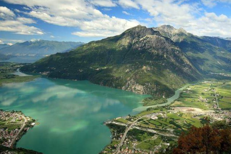
Now the path descends the Adda valley floor in the direction of Pian di Spagna and Lake Como. Three different routes can be followed: the Sentiero del Viandante (Wayfarer's Path); the Sentiero Valtellina, a bike/pedestrian path that follows the Adda embankment; and the Sentiero Guanelliano, on the lower Rhaetian side of the valley, dedicated to Don Luigi Guanella.
Suggestive for views and landscape, it crosses the vineyards of the Costiera dei Cèch passing through Traona, Mantello and Dubino. At Nuova Olonio, at the upper edge of the Pian di Spagna, it intercepts the Strada dei Cavalli, an ancient paved ramp overlooking Lake Mezzòla. From Verceia to Novate Mezzola the path uses a section of the Valchiavenna bicycle path.
4. Novate Mezzola to Chiavenna.
The Chiavenna Plain is developed along the Mera River; the area was reclaimed for its marshy and unhealthy condition. The ancient settlements were settled on the sides, on the first crags of the slopes. On the western one runs the Via Francisca, an extension of the Via Regina, a historic link between the upper Lario and the Alpine passes. The Via Priula meets it near Casenda and follows it faithfully to Chiavenna.
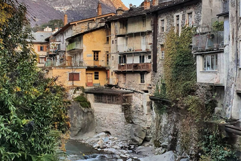
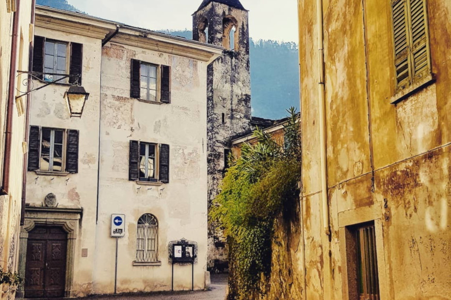
Along the way is the 12th-century Segname tower. It stands on a spur of rock, detached from the mountain slope between the villages of Gordona and S. Pietro di Samolaco. Continuing along the path we come to Chiavenna, a town at the crossroads of routes to the Spluga and Septimer and Maloia passes, with a past of trade and control over merchants and wayfarers. The noble and past can be found in the stately palaces with gardens, fountains worked in the ductile soapstone, loggia and terraced houses along the ancient streets and Baroque churches.
Sights to see: the Collegiate Church of San Lorenzo, with a rich Treasury; the palaces on Dolzino Street; the church of S. Maria and the Castle of the Balbiani Counts; and the Marmitte dei Giganti Nature Park, where formations of glacial origin are found carved into the rock.
